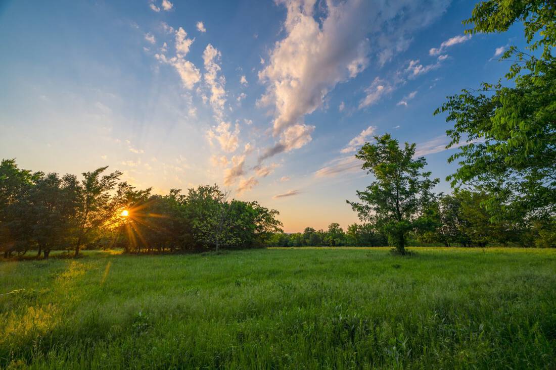
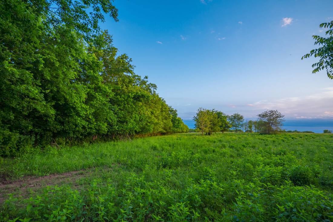
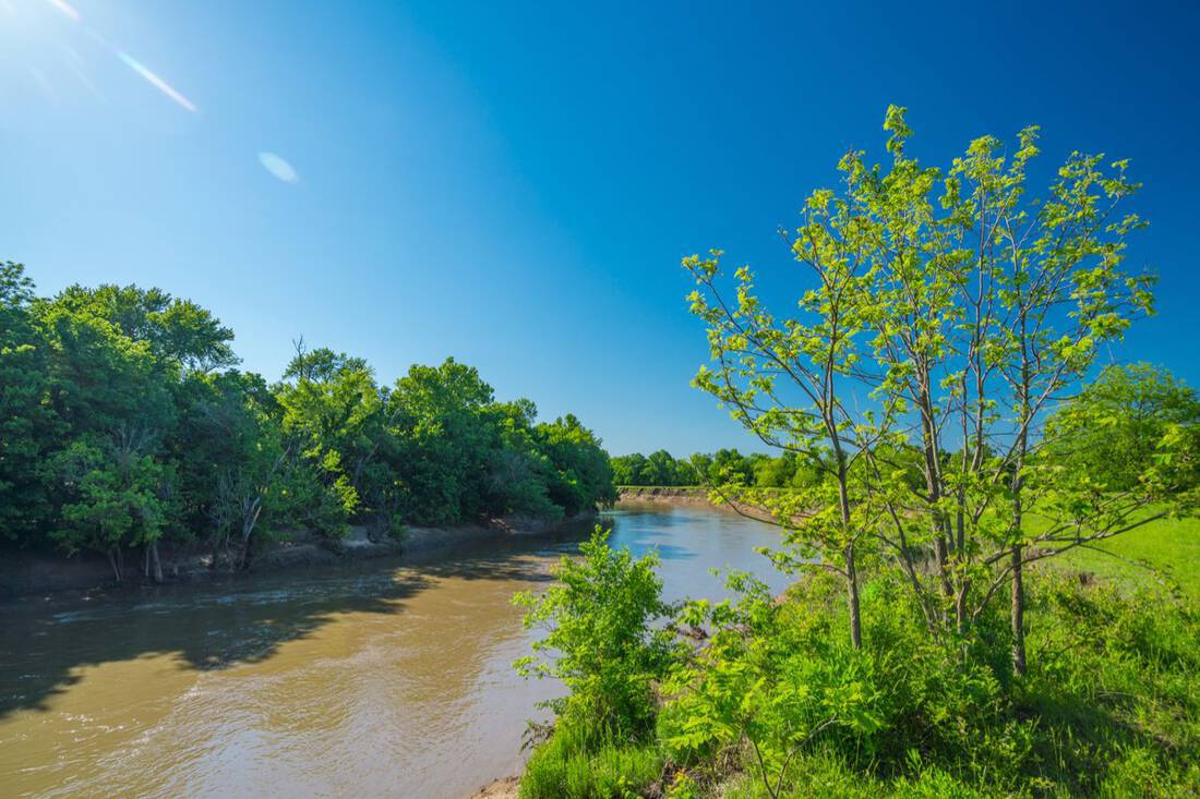
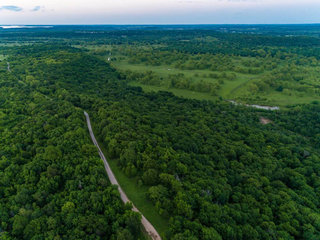
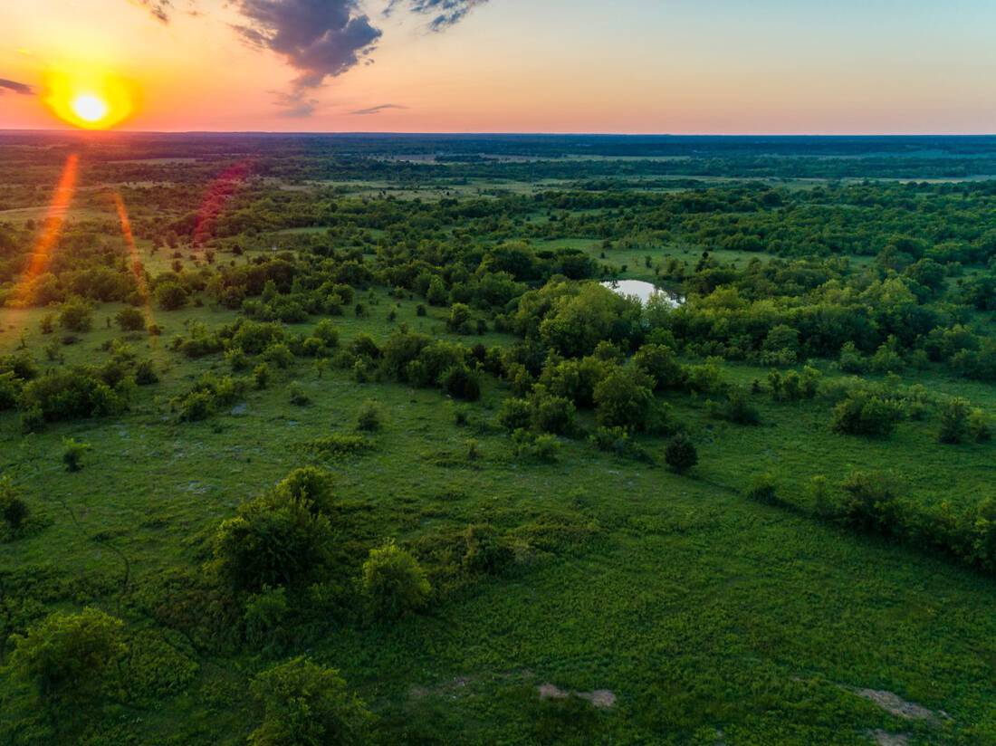
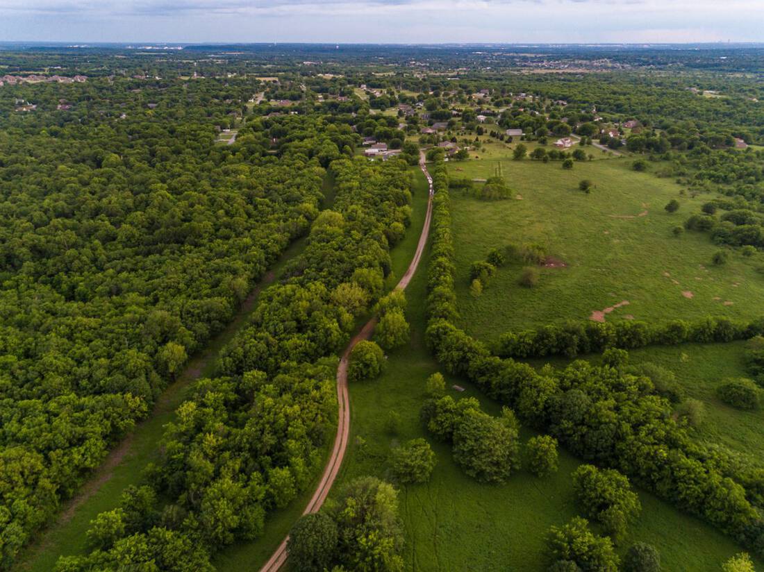
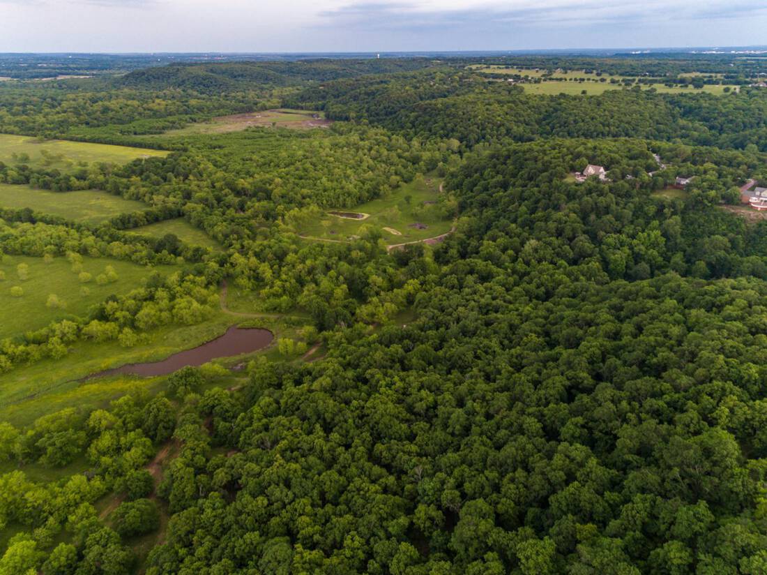
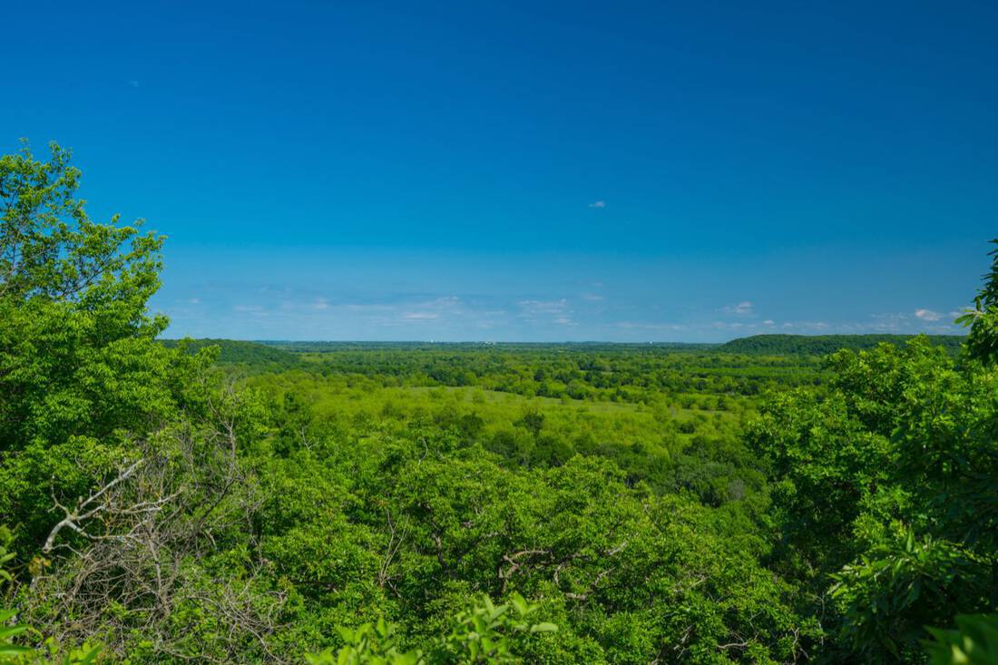
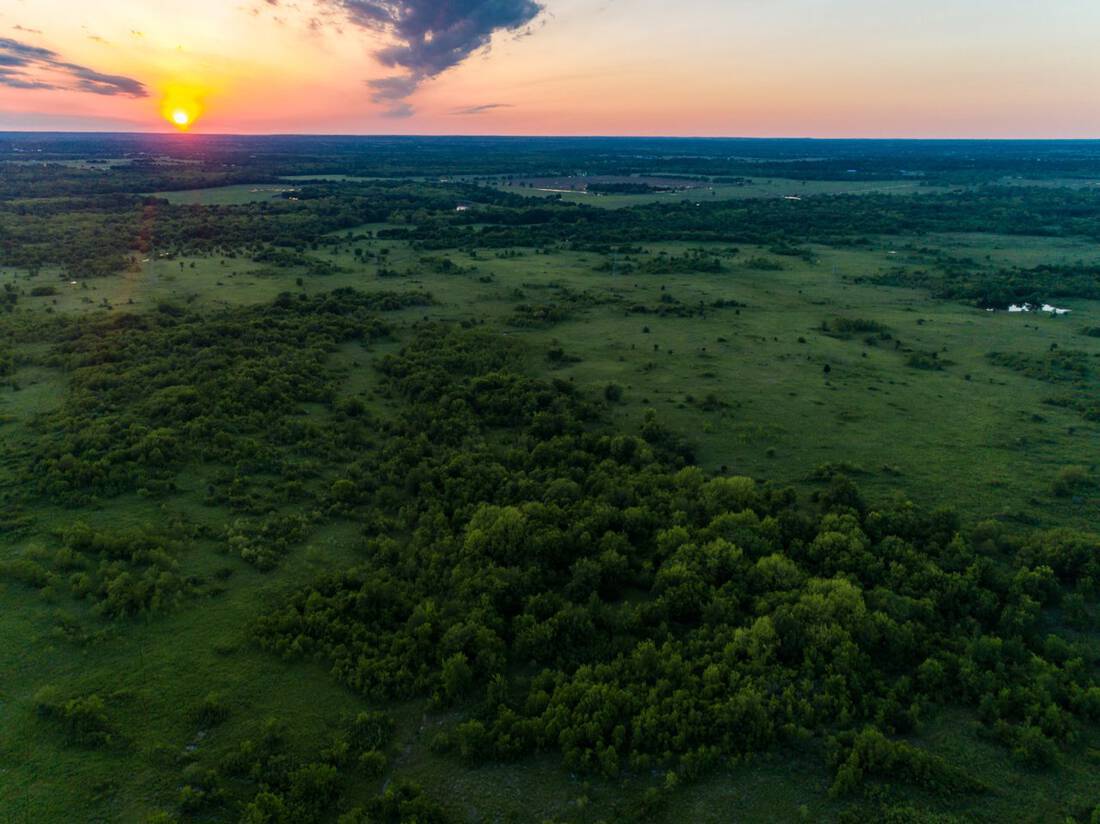
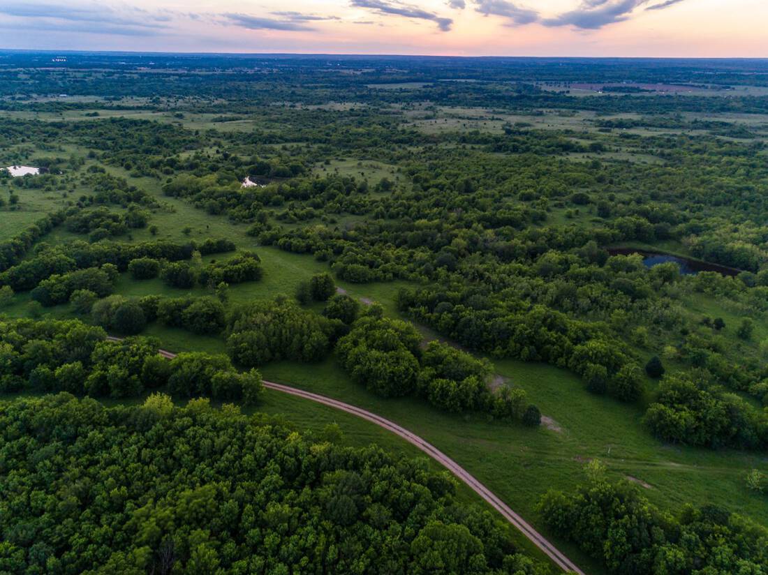
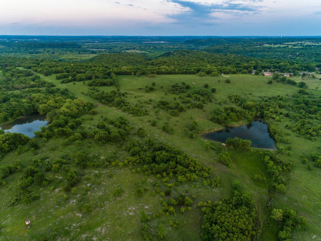
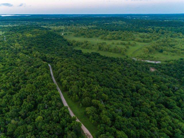
The Bledsoe Ranch on the Caney River is a unique combination cattle and recreational property in northeast Oklahoma. Ranches of this size do not come on the market often in this area, and it also lends itself to potential future development. This live-water property has about 5.5 miles of the Caney River as its boundary, and is almost in the shape of a horseshoe with the river surrounding it. The key topographical feature is the limestone ridge line on the east side that stretches over 2 miles. It has over 200′ of elevation drop and looks over the river bottoms to the east. It lies just east of the rapidly growing Owasso area and is about 7 miles west of Claremore. This special ranch has not traded ownership in 55 years.
Land:
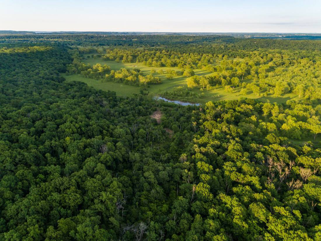
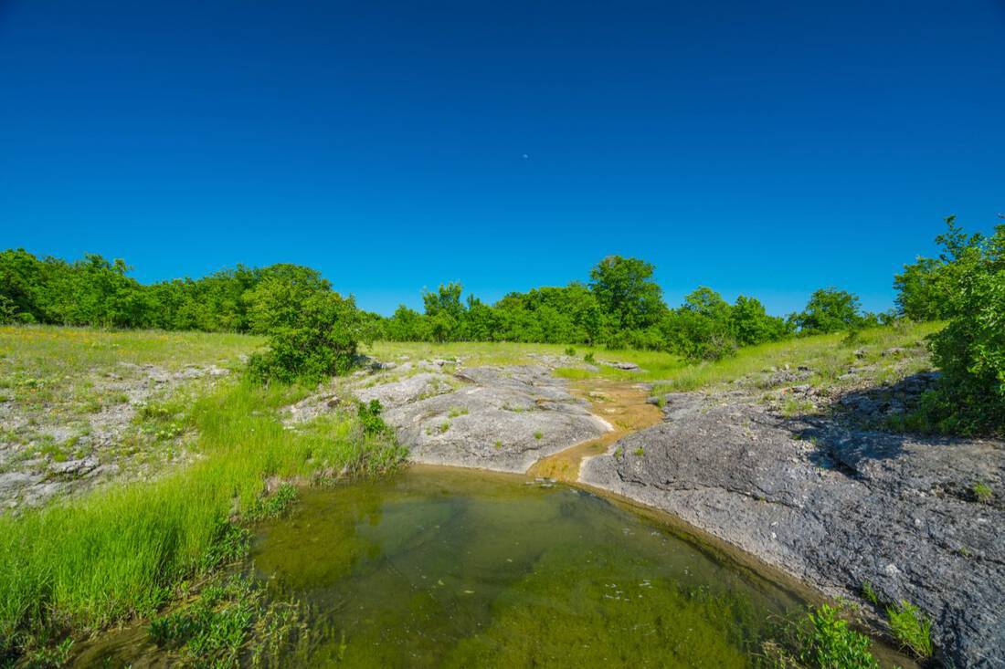
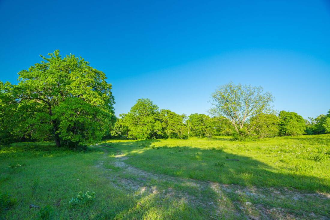
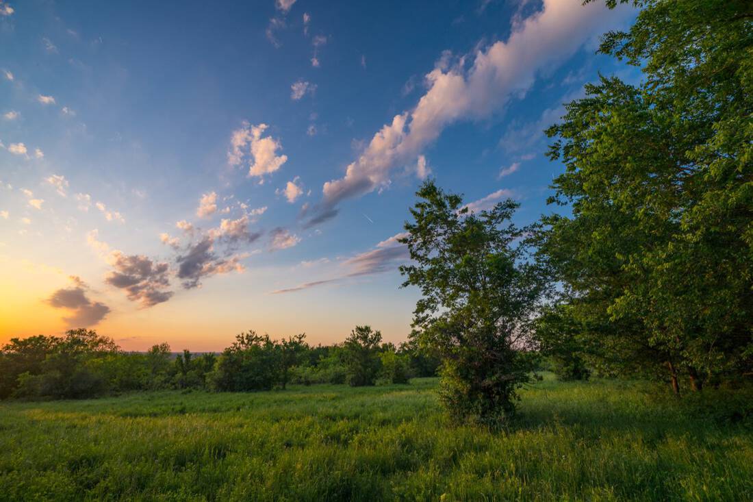
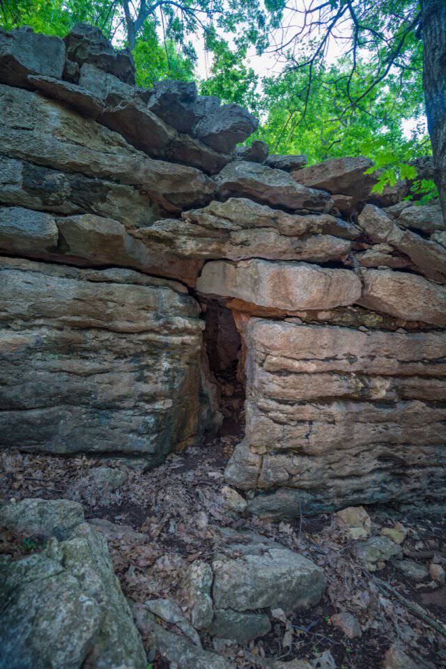
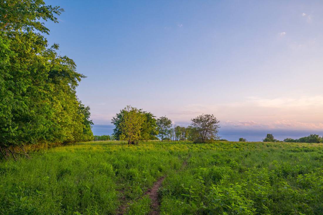
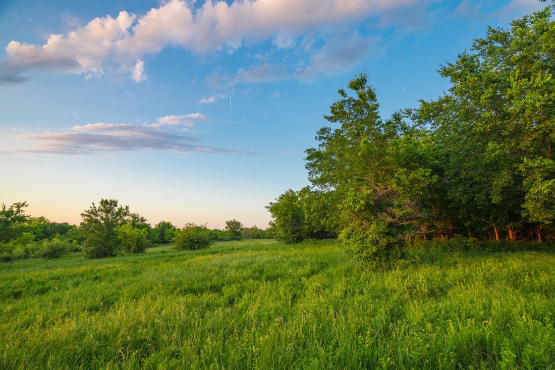
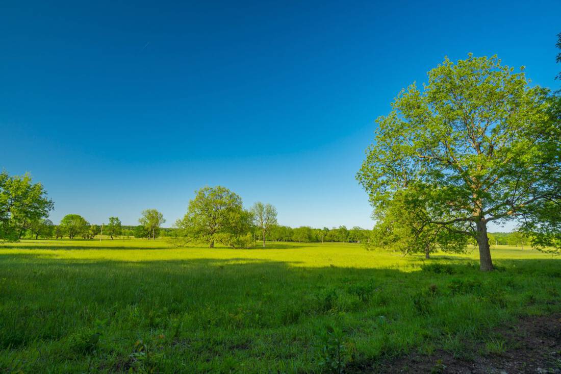
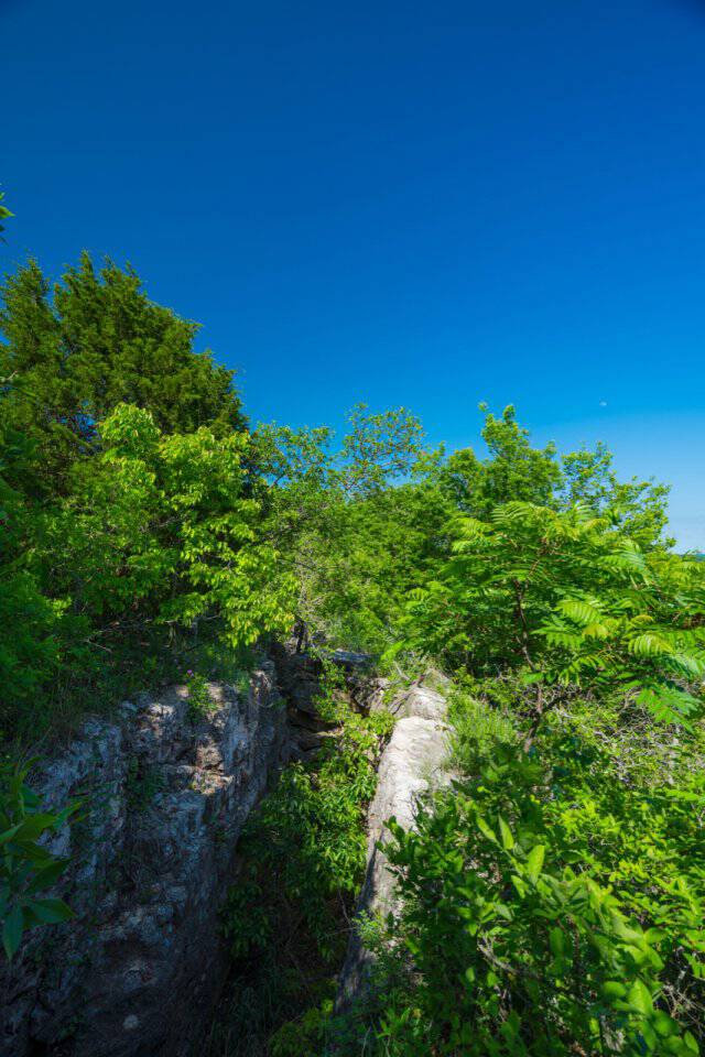
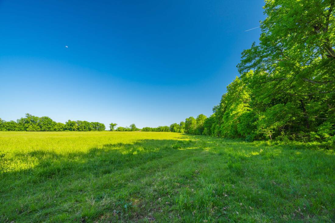
The ranch topography is interesting with 815′ to 580′ elevation changes and timber predominately mixed with huge chinquapin oaks, post oaks, and blackjack oaks on the higher ground and also pecan, ash, sycamore, and sweet gum in the lower areas. The Bledsoe Ranch is in the Central Irregular Plains ecosystem of Oklahoma, and specifically in a part of Rogers County known for its limestone rich terrain. The river bottoms are productive areas with native range, fescue, and improved coastal bermuda. Soils on the upland areas are mostly Shidler stony silty clays (approximately 50%+ of the ranch) and the balance is mostly Osage Clay, Claremore Silt Loam, and Verdigris Clay Loam.
Approximate breakdown of acreage:
50% open pasture and native mixed timber on upland areas
25% bottom pastures
12.5% bottom woods along the river
12.5% upland woods
1/3 of the ranch lies within the 100 year flood plain
There is an additional 60+/- acre parcel of which the sellers own a 4/25th interest. See map for details.
Water:
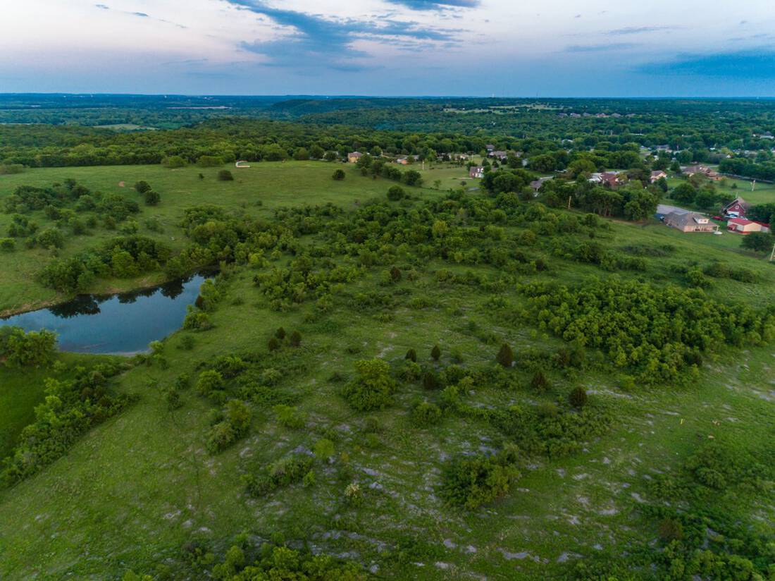
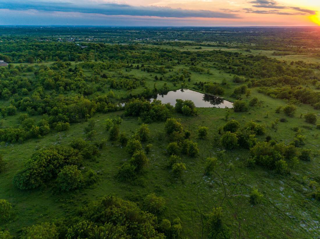
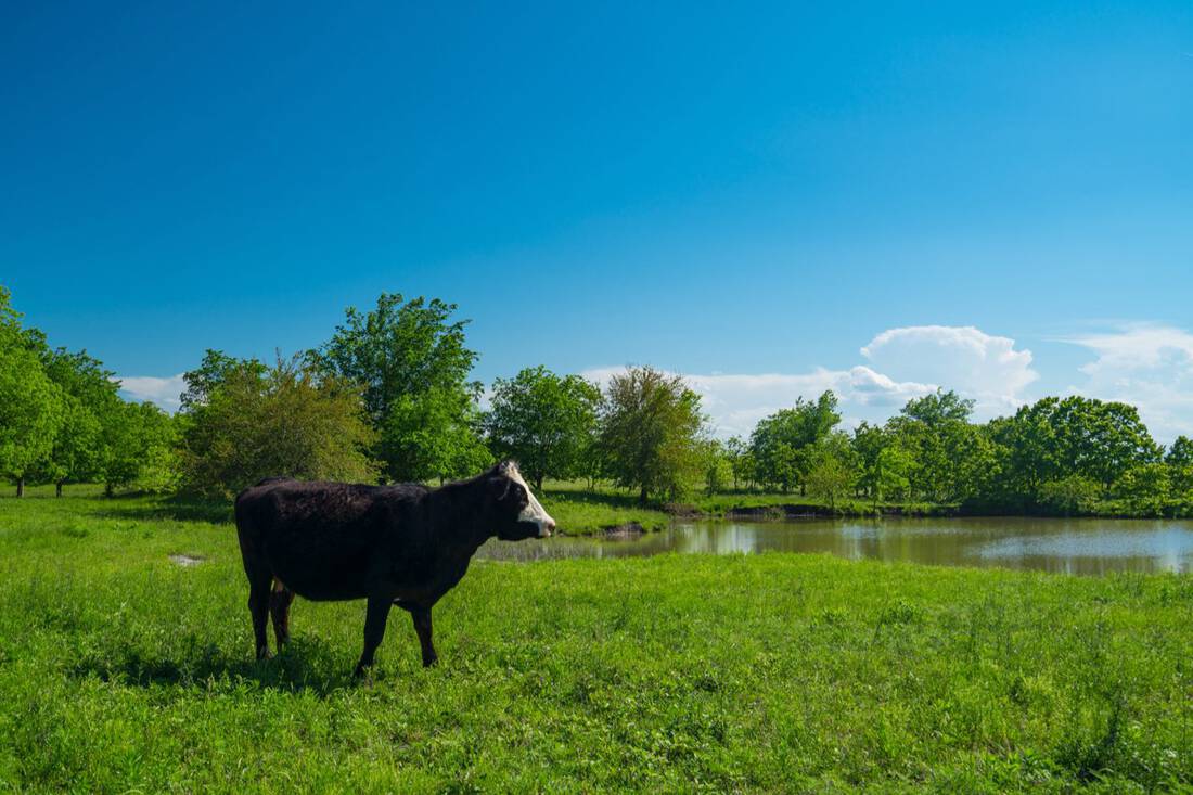
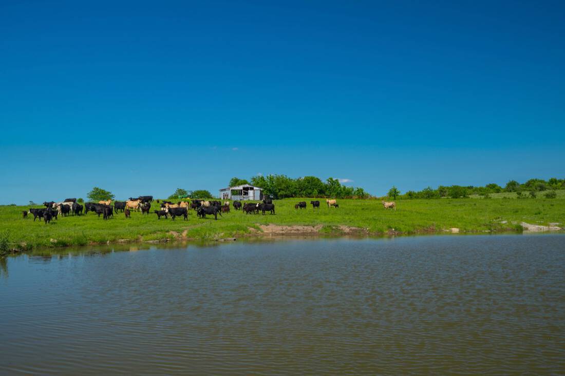
The main water feature is frontage on about 5.5 miles of Caney River, with some land holdings on the other side. Groundwater comes from the Cherokee Group aquifer, and all of Oklahoma lies within a OCWP Watershed Planning Region. Several stock ponds are located throughout the ranch, and the ranch gets an average of about 35-40” of rainfall annually.
Location:
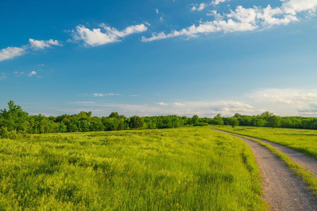
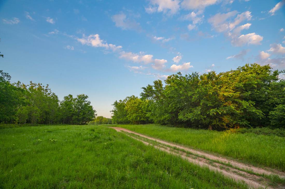
The ranch is located in northeast Oklahoma, approximately 20 miles northeast of Tulsa. It is north of highway 20 between Claremore and Owasso in the middle part of western Rogers County. Access is via NS 4080 Road which turns into E. Ranch Road, which is paved from State Highway 20 to the gate.
No public roads cut through the ranch.
911 address: 17995 South Ranch Road, Claremore, Oklahoma 74017
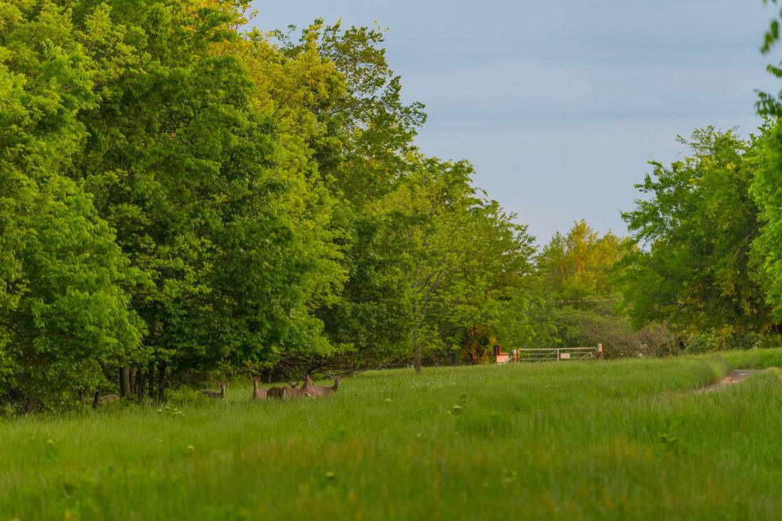
Wildlife:
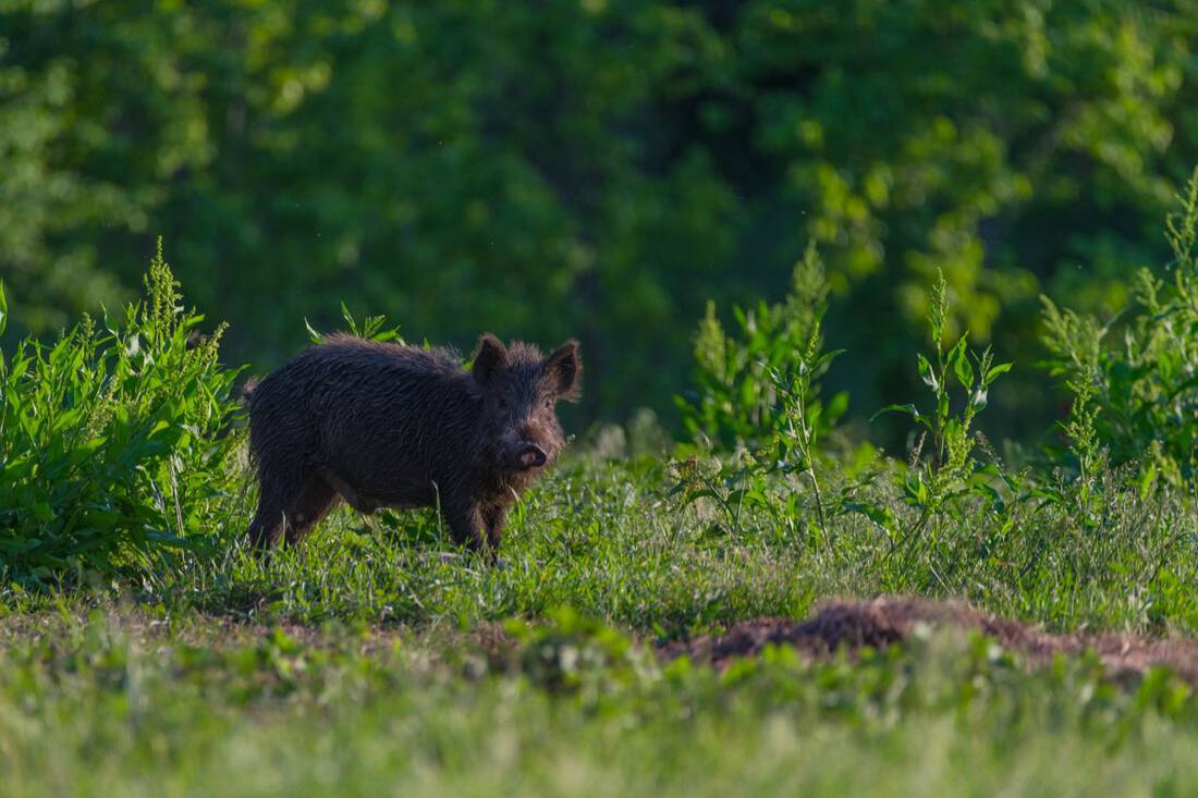
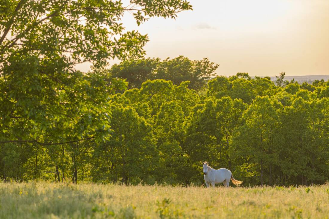
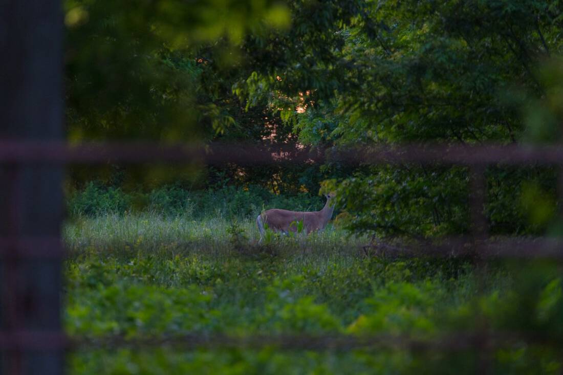
The whitetail deer population is healthy and abundant across this game ranch and the turkeys also have excellent habitat along the river. The ranch lies in the far northeastern edge of the Rio Grande Turkey population for the state.
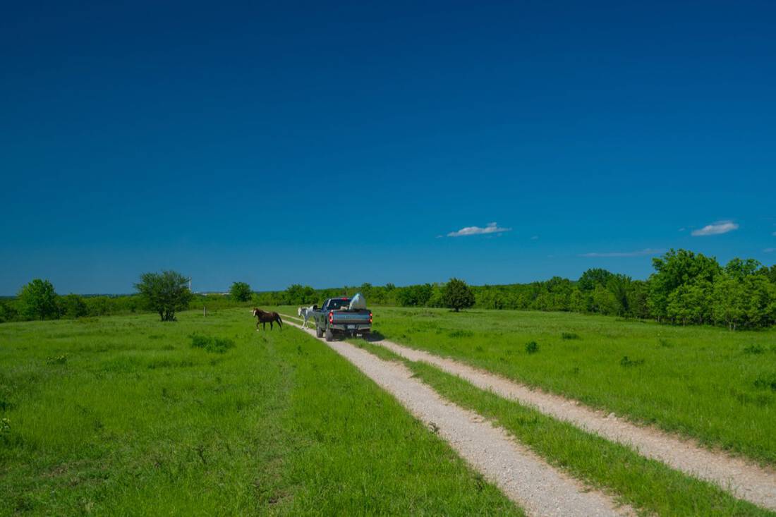
Cattle:
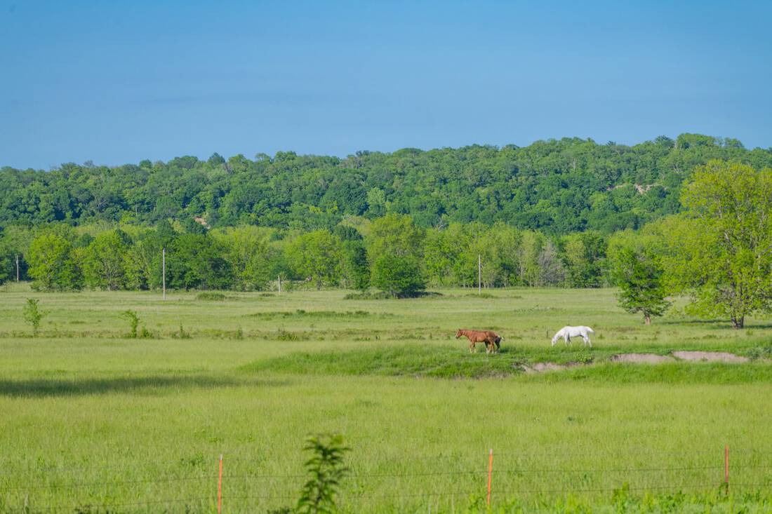
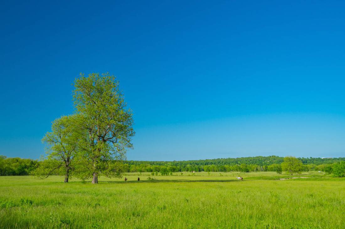
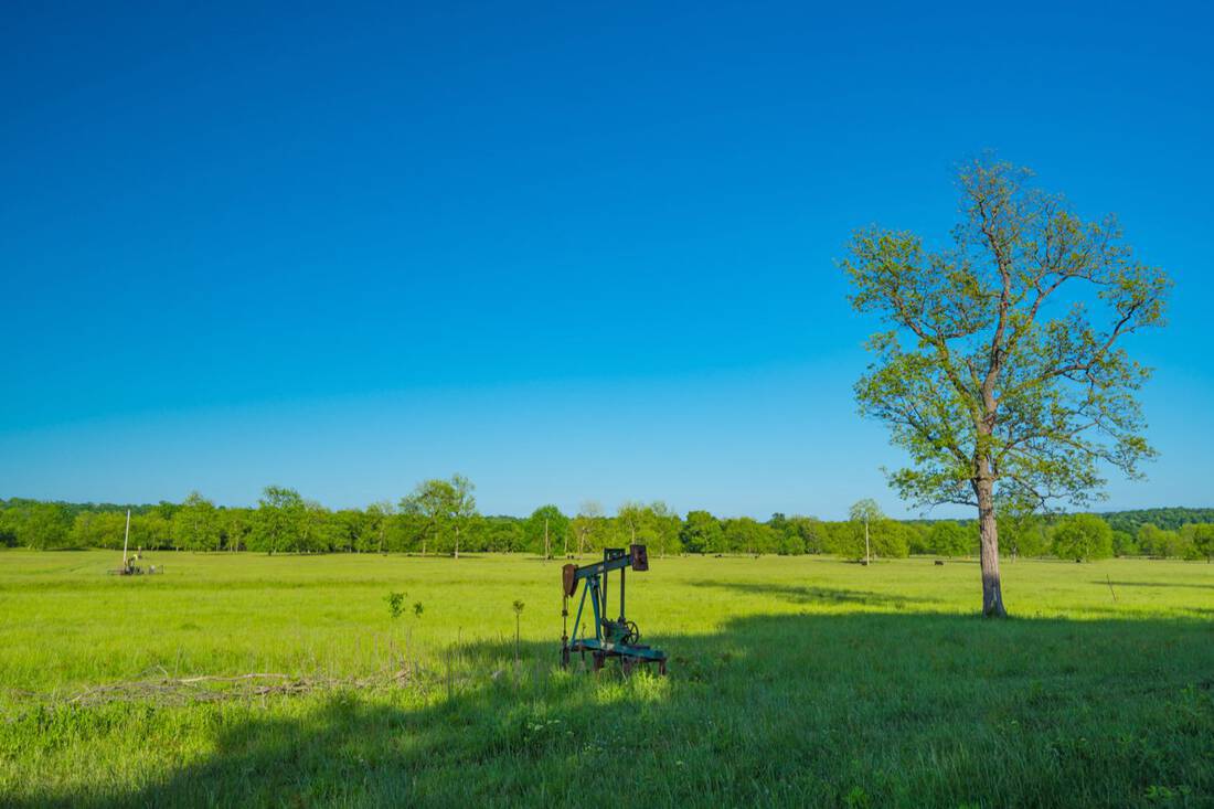
Carrying capacity could be as much as 350 AU for this general blend of native grasses and forage as well as mixed woods. Current range conditions of the ranch have supported a current stocking of about 250 AU. There are two sets of working pens. Fencing conditions along the south border are in good shape, but other areas are fair. The river serves as a natural livestock barrier in some areas near the river bottom but in other areas better fencing would be required to keep cattle from crossing the river.
Utilities:
Rural water (4″ line) near the main gate (Water District #3), and electricity near the south fence line (Verdigris Valley Co-Op)
Minerals:
Total mineral ownership is unknown, and the ranch is not being offered with any of the mineral estate. There is old shallow production on the ranch.
Easements:
There are three utility easements on the ranch: two buried gas lines and one power transmission line running northeast/southwest on the western third of the ranch.
Taxes:
The annual property taxes are approximately $4,000 and the ranch is taxed with an agricultural valuation.
Zoning:
Current PUD zoning. (Planned Unit Development)
Improvements:
None.
Future Development and Neighborhood Information:
The ranch lies on the north side of Trails End Estates and the Hickory Hollow at Trails End Estates additions.
Shown by appointment only.
Link to Oklahoma Disclosure of Brokerage Service
Link to Oklahoma Broker Services Disclosure
 Bledsoe Ranch on the Caney River - Rogers County, Claremore, OK
Bledsoe Ranch on the Caney River - Rogers County, Claremore, OK
The Bledsoe Ranch on the Caney River is a unique combination cattle and recreational property in northeast Oklahoma. Ranches of this size do not come on the market often in this area, and it also lends itself to potential future development. This live-water property has about 5.5 miles of the Caney River as its boundary, and is almost in the shape of a horseshoe with the river surrounding it. The key topographical feature is the limestone ridge line on the east side that stretches over 2 miles. It has over 200′ of elevation drop and looks over the river bottoms to the east. It lies just east of the rapidly growing Owasso area and is about 7 miles west of Claremore. This special ranch has not traded ownership in 55 years.
Land:
The ranch topography is interesting with 815′ to 580′ elevation changes and timber predominately mixed with huge chinquapin oaks, post oaks, and blackjack oaks on the higher ground and also pecan, ash, sycamore, and sweet gum in the lower areas. The Bledsoe Ranch is in the Central Irregular Plains ecosystem of Oklahoma, and specifically in a part of Rogers County known for its limestone rich terrain. The river bottoms are productive areas with native range, fescue, and improved coastal bermuda. Soils on the upland areas are mostly Shidler stony silty clays (approximately 50%+ of the ranch) and the balance is mostly Osage Clay, Claremore Silt Loam, and Verdigris Clay Loam.
Approximate breakdown of acreage:
50% open pasture and native mixed timber on upland areas
25% bottom pastures
12.5% bottom woods along the river
12.5% upland woods
1/3 of the ranch lies within the 100 year flood plain
There is an additional 60+/- acre parcel of which the sellers own a 4/25th interest. See map for details.
Water:
The main water feature is frontage on about 5.5 miles of Caney River, with some land holdings on the other side. Groundwater comes from the Cherokee Group aquifer, and all of Oklahoma lies within a OCWP Watershed Planning Region. Several stock ponds are located throughout the ranch, and the ranch gets an average of about 35-40” of rainfall annually.
Location:
The ranch is located in northeast Oklahoma, approximately 20 miles northeast of Tulsa. It is north of highway 20 between Claremore and Owasso in the middle part of western Rogers County. Access is via NS 4080 Road which turns into E. Ranch Road, which is paved from State Highway 20 to the gate.
No public roads cut through the ranch.
911 address: 17995 South Ranch Road, Claremore, Oklahoma 74017
Wildlife:
The whitetail deer population is healthy and abundant across this game ranch and the turkeys also have excellent habitat along the river. The ranch lies in the far northeastern edge of the Rio Grande Turkey population for the state.
Cattle:
Carrying capacity could be as much as 350 AU for this general blend of native grasses and forage as well as mixed woods. Current range conditions of the ranch have supported a current stocking of about 250 AU. There are two sets of working pens. Fencing conditions along the south border are in good shape, but other areas are fair. The river serves as a natural livestock barrier in some areas near the river bottom but in other areas better fencing would be required to keep cattle from crossing the river.
Utilities:
Rural water (4″ line) near the main gate (Water District #3), and electricity near the south fence line (Verdigris Valley Co-Op)
Minerals:
Total mineral ownership is unknown, and the ranch is not being offered with any of the mineral estate. There is old shallow production on the ranch.
Easements:
There are three utility easements on the ranch: two buried gas lines and one power transmission line running northeast/southwest on the western third of the ranch.
Taxes:
The annual property taxes are approximately $4,000 and the ranch is taxed with an agricultural valuation.
Zoning:
Current PUD zoning. (Planned Unit Development)
Improvements:
None.
Future Development and Neighborhood Information:
The ranch lies on the north side of Trails End Estates and the Hickory Hollow at Trails End Estates additions.
Shown by appointment only.
Link to Oklahoma Disclosure of Brokerage Service
Link to Oklahoma Broker Services Disclosure